Red Maple: How Quebec’s forests are adapting to climate change
Climate change is already affecting Quebec’s forests, with expected impacts on tre …
Blaise Transit
Partnership Commitment Grants (PCG)
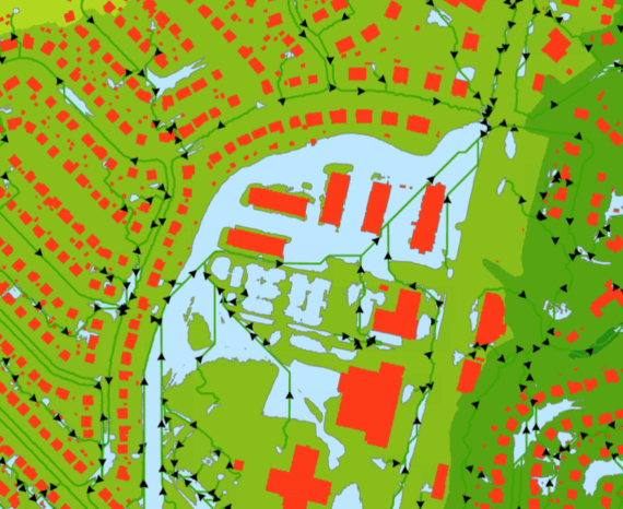
The project aimed to help Blaise Transit improve and automate its platform using a geospatial simulator. It allows users to select on-demand urban transit corridors and analyze the cost-benefit ratios of the services.
Our main goal: to study and propose an approach for aggregating and analyzing ridership data. This enables us to determine when and where on-demand services deliver the best results.
Transport and logistics
Climate change is already affecting Quebec’s forests, with expected impacts on tre …
The CGQ team aims to provide CMQuébec, as well as its regional and local partners, …
The objective of the project is to clean and standardize GPS-acquired hiking trail data.