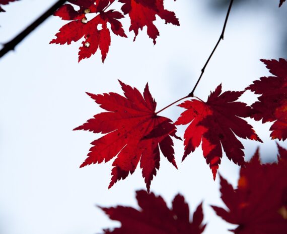
Red Maple: How Quebec’s forests are adapting to climate change
Climate change is already affecting Quebec’s forests, with expected impacts on tre …
Climate change is already affecting Quebec’s forests, with expected impacts on tre …
The CGQ team aims to provide CMQuébec, as well as its regional and local partners, …
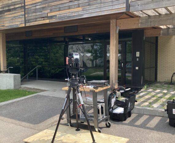
This project involves conducting a campaign to acquire, process, and analyze hyper …
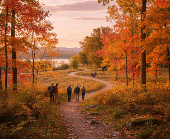
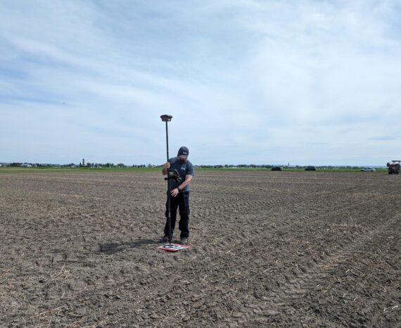
The objective of the project is to clean and standardize GPS-acquired hiking trail data.
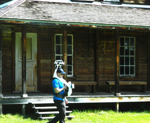
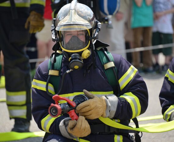
Participate in the development of a health record for heritage buildings using the …
This internal project aims to develop new three-dimensional mapping techniques ada …
The SimSinistre platform, with its innovative geographical approach, will enable m …
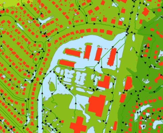
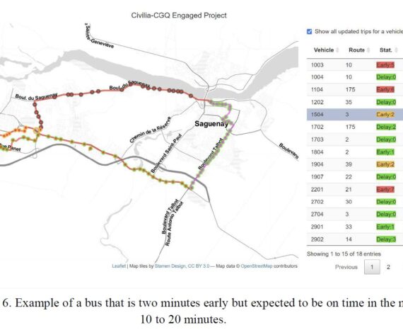
The geospatial simulator allows users to select urban transit corridors on demand …
We propose here to substantially enrich the thermal portrait of Eastern Canada’s h …
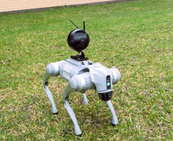
A real-time tracking, planning and decision-support platform for use in infrastruc …
The aim is to create an automated platform for rapid and accurate analysis of crop …
This is a co-construction project aimed at encouraging the six marine ZIP committe …