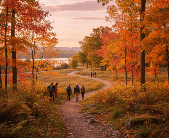

Red Maple: How Quebec’s forests are adapting to climate change
Climate change is already affecting Quebec’s forests, with expected impacts on tre …
Center RISC (Notre-Dame-de-Foy Campus)
Quebec Civil Security Association
ESRI Canada
Natural Sciences and Engineering Research Council of Canada (NSERC) College and Community Social Innovation Fund (CSCSIF)
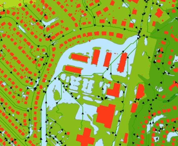
The SimSinistre platform incorporates an innovative geographic approach for civil protection responders. It enables the creation of tabletop exercises tailored to climate change and the scale of disasters.
In addition, it makes exercises more realistic and interactive. Results are easy to analyze, providing responders with essential, rapid feedback.
Step 1: Review of Table-Top Exercises
We conducted semi-structured interviews with about ten civil protection professionals. We then analyzed their responses to understand their needs.
Step 2: Developing a traditional exercise
In collaboration with the ASCQ and the CNDF’s academic programs (fire safety, police techniques, pre-hospital emergency services), we designed a comprehensive tabletop exercise. This scenario highlights the challenges encountered during a disaster.
Step 3: Planning the geospatial transition
We established a plan to transition the exercise to a geospatial format. Based on the identified needs, we selected the relevant data, functionalities, and appropriate software platforms.
Step 4: Prototype development
Following the established plan, we adapted the exercise to transition it into a virtual space using geospatial technologies.
The disaster (scale and extent), its consequences and impacts (affected, at-risk, or vulnerable infrastructure and populations), and elements related to emergency measures (establishment of the on-site emergency operations center, deployment and movement of resources, response operations) are transposed into a spatial framework defined by geospatial elements (topography, hydrography, land use, roads and infrastructure, built environment, etc.).
Next, we programmed the functionalities and dashboards to ani
Step 5: Validation of the prototype
We tested the prototype by replicating the exercise from Step 2 in the new geospatial platform.
Transport and logistics
Climate change is already affecting Quebec’s forests, with expected impacts on tre …
The CGQ team aims to provide CMQuébec, as well as its regional and local partners, …
The objective of the project is to clean and standardize GPS-acquired hiking trail data.