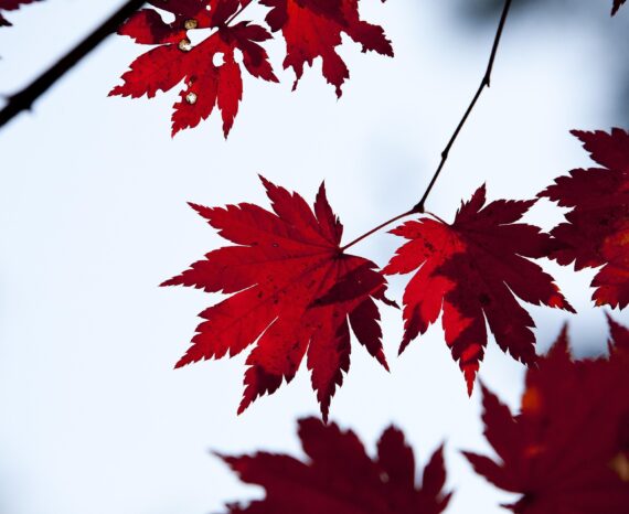
Red Maple: How Quebec’s forests are adapting to climate change
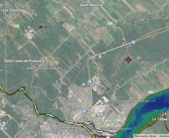
Climate change is already affecting Quebec’s forests, with expected impacts on tre …
Climate change is already affecting Quebec’s forests, with expected impacts on tre …
The CGQ team aims to provide CMQuébec, as well as its regional and local partners, …
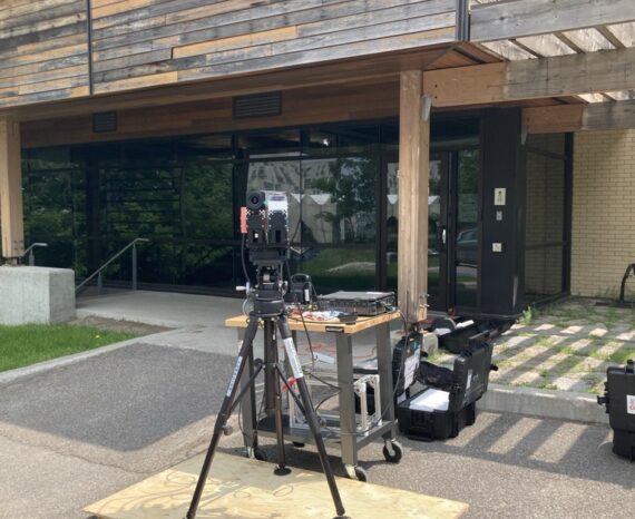
This project involves conducting a campaign to acquire, process, and analyze hyper …
The aim is to create an automated platform for rapid and accurate analysis of crop …
This is a co-construction project aimed at encouraging the six marine ZIP committe …
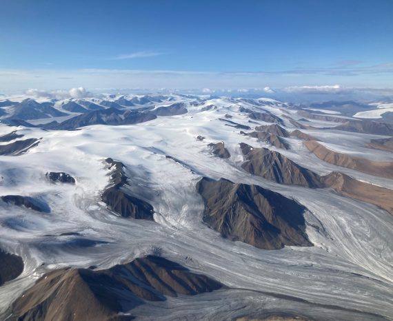
We propose here to substantially enrich the thermal portrait of Eastern Canada’s h …
Use the non-destructive technique of hyperspectral remote sensing to identify the …
Part of our brief was to propose solutions for the continuous monitoring of natura …
Development of a methodology using remote sensing drone imagery to map/inventory i …
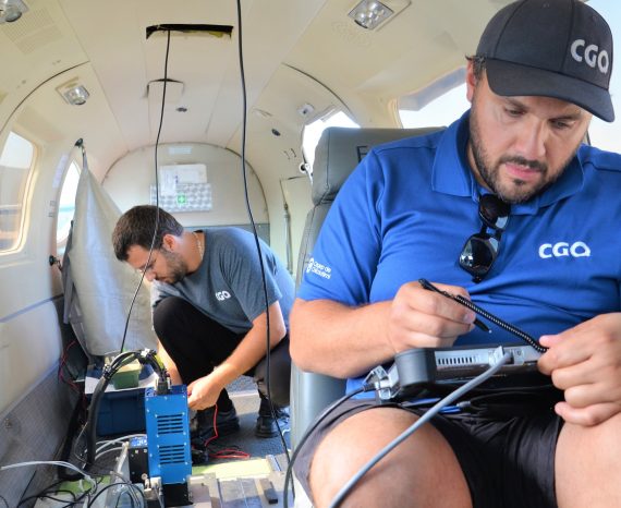
The CGQ joined the team for its hyperspectral expertise and state-of-the-art equipment.
This project aims to develop rapid and reliable assessment tools for wild macroalg …
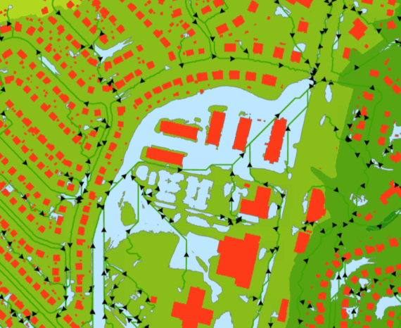
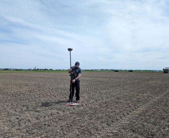
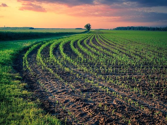
For this precision agriculture research project, our team used multispectral aeria …