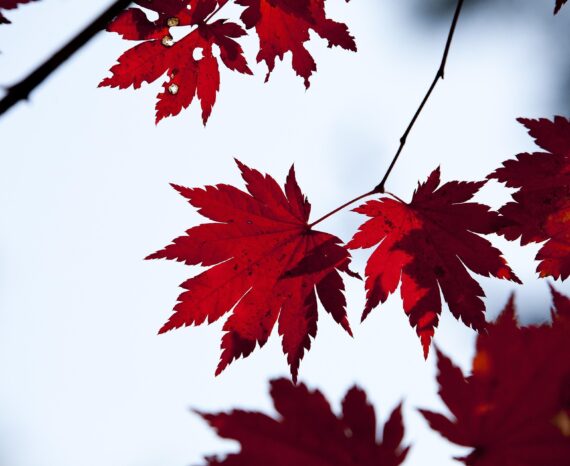
Red Maple: How Quebec’s forests are adapting to climate change
Climate change is already affecting Quebec’s forests, with expected impacts on tre …
Agrinova
Programme d’Aide à la Recherche et au Transfert (PART) (research and transfer assistance program) Multicentre – Technological innovation component from the Ministry of Education and Higher Education
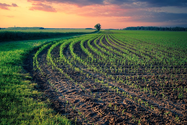
Our team used multispectral aerial imagery as a tool for analyzing and diagnosing soil productivity for this precision agriculture research project. This technology proves to be a very good tool, combining the visible and the near infrared. It allows for the chlorophyll content in plants to be analyzed, which influences the biomass content.
A strong presence of biomass is desired to improve crop yield. The soil composition can also be considered, in addition to the presence or absence of certain chemical elements that influence crop yield.
Using aerial imagery therefore allows farmers to have an overview of their fields and therefore take the necessary actions.
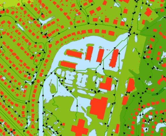
Resource management
Climate change is already affecting Quebec’s forests, with expected impacts on tre …
The CGQ team aims to provide CMQuébec, as well as its regional and local partners, …
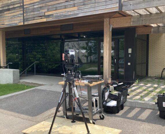
This project involves conducting a campaign to acquire, process, and analyze hyper …