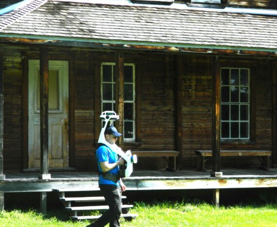
Val-Jalbert: Digital building health record
Participate in the development of a health record for heritage buildings using the …
Participate in the development of a health record for heritage buildings using the …
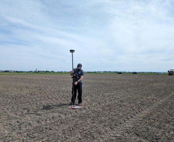
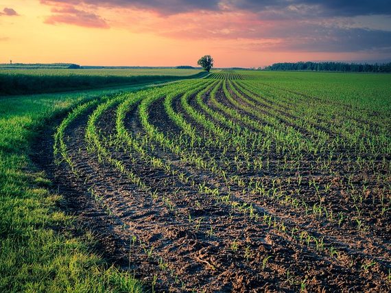
The aim is to create an automated platform for rapid and accurate analysis of crop …
This is a co-construction project aimed at encouraging the six marine ZIP committe …
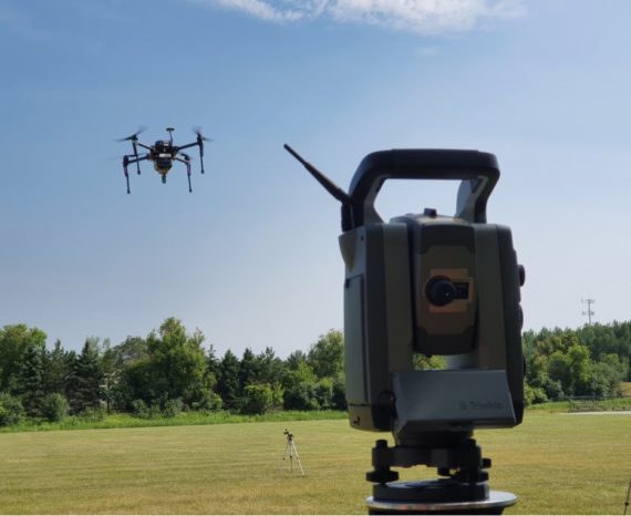
This internal project aims to develop new three-dimensional mapping techniques ada …
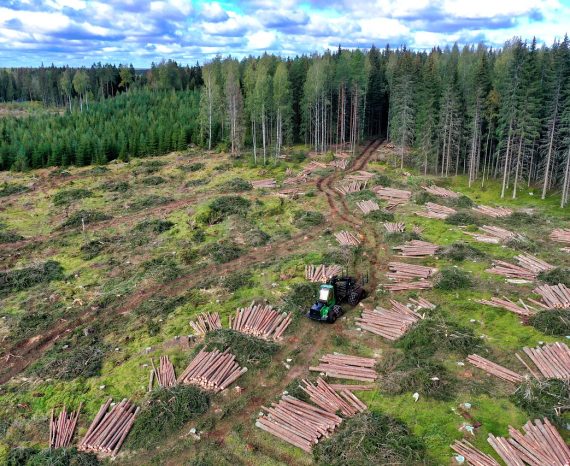
Part of our brief was to propose solutions for the continuous monitoring of natura …
Development of a methodology using remote sensing drone imagery to map/inventory i …
Precision agriculture XLKey inc. wanted to implement a geospatial database infrast …
Multispectral and thermal imaging technologies acquired by drones offer an afforda …
For this precision agriculture research project, our team used multispectral aeria …
This project has enabled four ZIP committees to improve their practical and theore …
The goal of this applied research project is to improve data precision collected b …
Our expertise in remote sensing and geospatial analysis, combined with our state-o …