
Red Maple: How Quebec’s forests are adapting to climate change
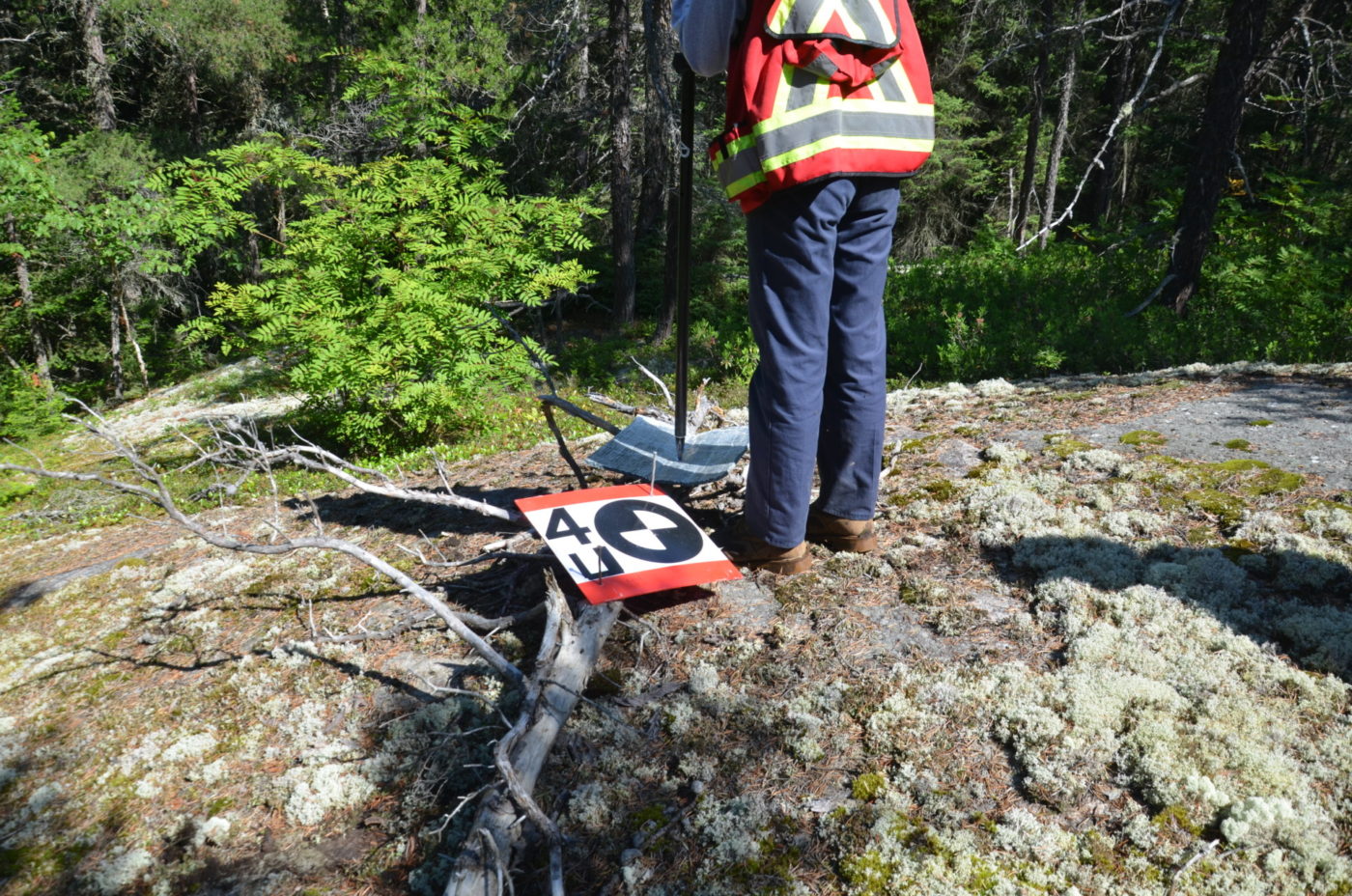
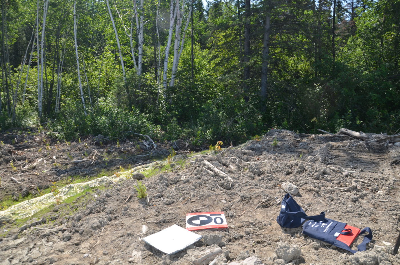
Climate change is already affecting Quebec’s forests, with expected impacts on tre …
Environnement CA
Partnership Engage Grants (PEG) from the Natural Sciences and Engineering Research Council of Canada (NSERCC)
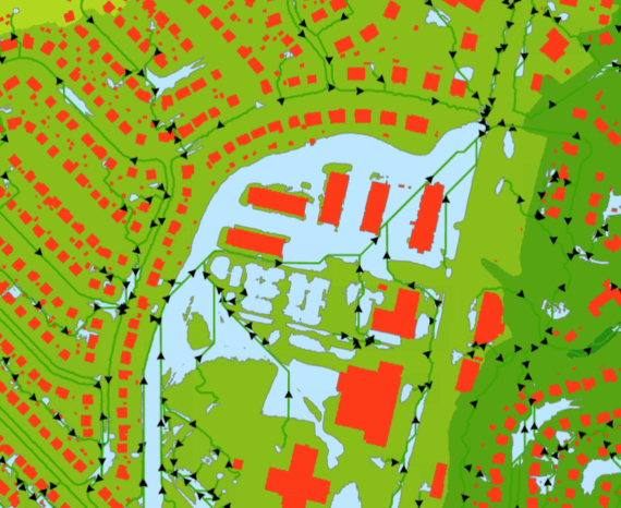
Our expertise in remote sensing and geospatial analysis, combined with our state-of-the-art equipment have made it possible to develop new tools for wetlands characterizing. The monitoring and conservation of these delicate areas represent a major environmental issue, since it covers nearly 13% of the Canadian territory. Our team carried out tests on the relevance of using RGB, multispectral and thermal sensors carried by drone to complete the characterization.
Environmental monitoring
Climate change is already affecting Quebec’s forests, with expected impacts on tre …
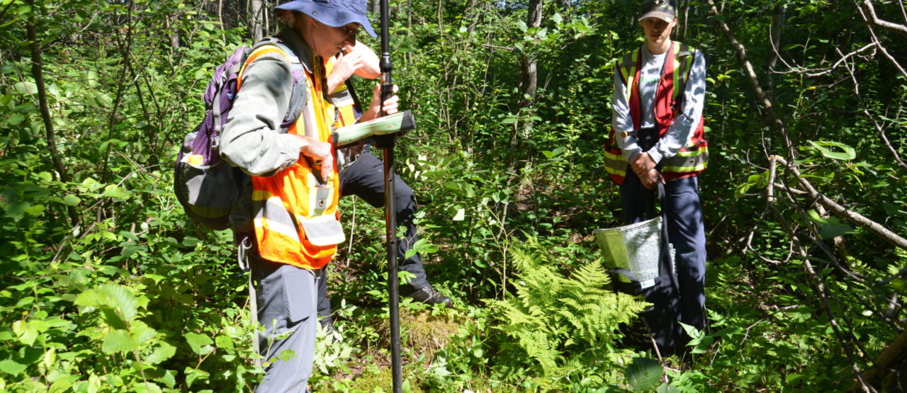
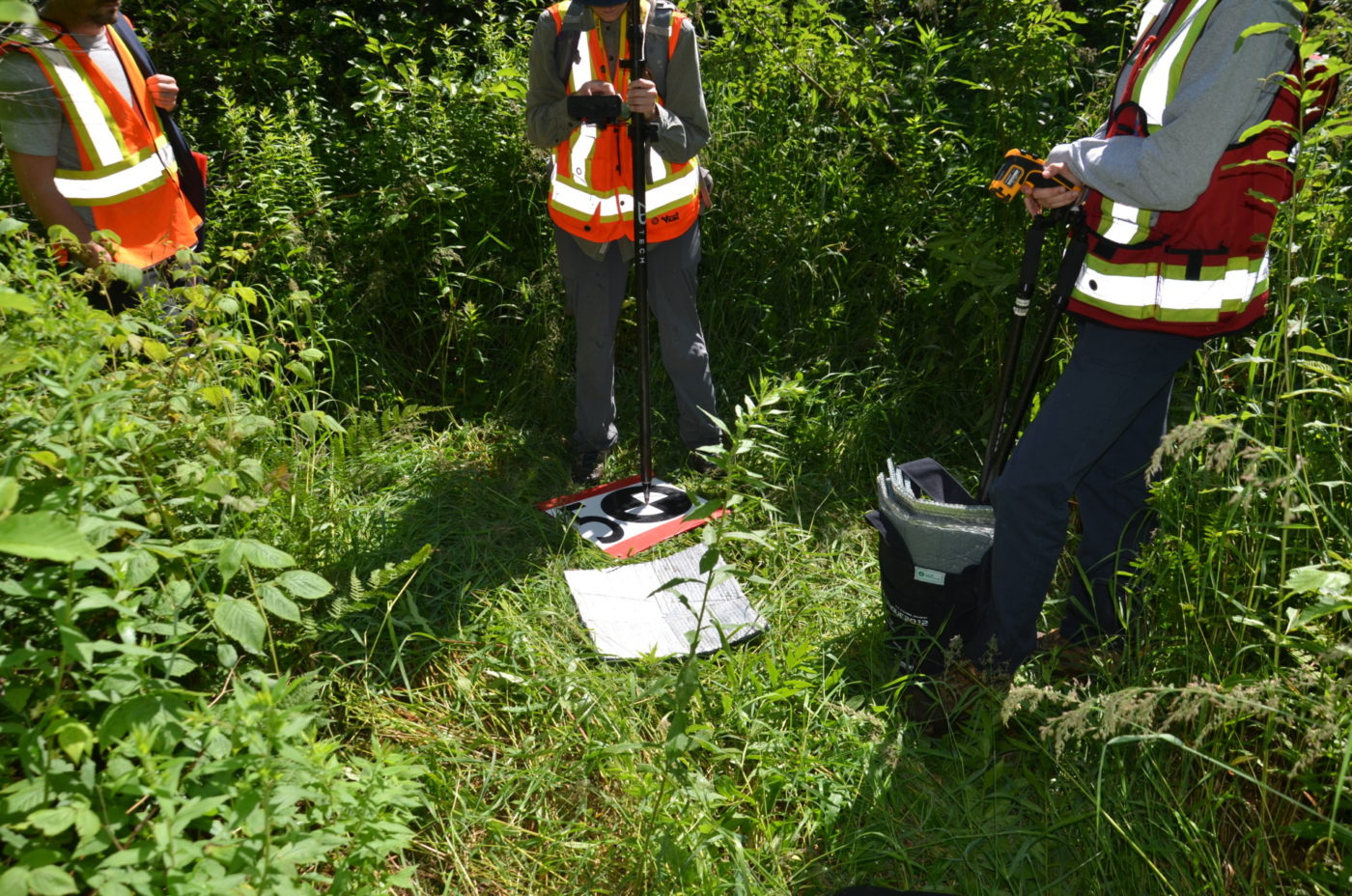
The CGQ team aims to provide CMQuébec, as well as its regional and local partners, …
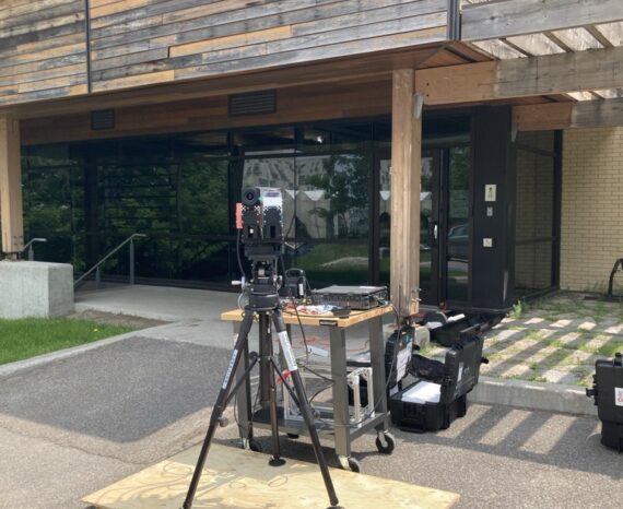
This project involves conducting a campaign to acquire, process, and analyze hyper …