Red Maple: How Quebec’s forests are adapting to climate change
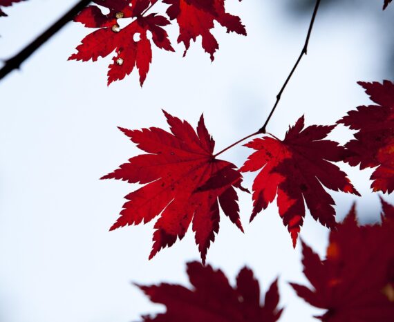
Climate change is already affecting Quebec’s forests, with expected impacts on tre …
Climate change is already affecting Quebec’s forests, with expected impacts on tre …
This is a co-construction project aimed at encouraging the six marine ZIP committe …
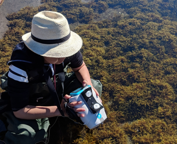
This project aims to develop rapid and reliable assessment tools for wild macroalg …
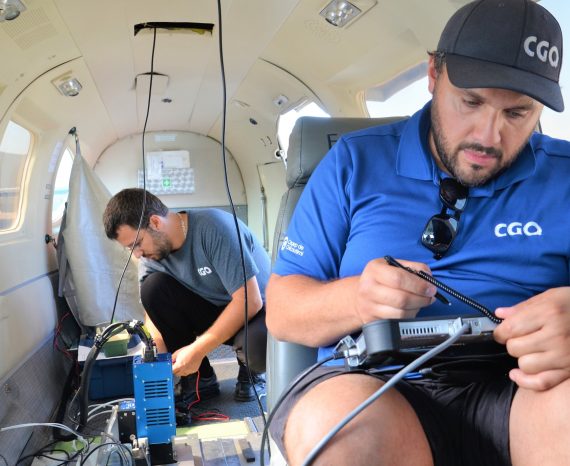
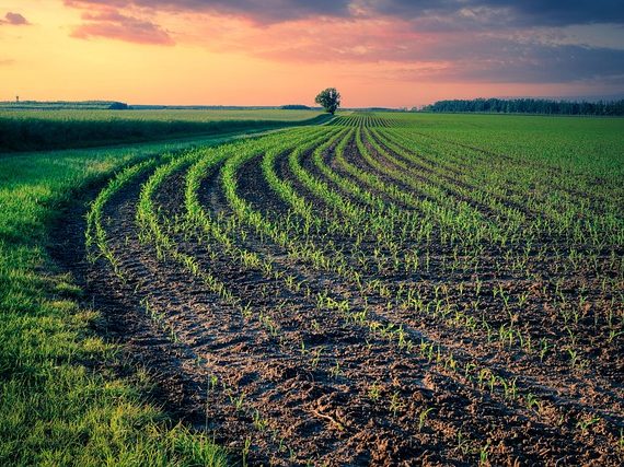
For this precision agriculture research project, our team used multispectral aeria …
The goal of this project was to use geomatics techniques to update archaeology work processes.
The goal of this research is to develop an operational method for characterizing a …
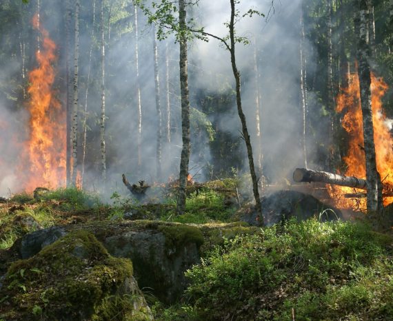
For this study, the case of a fire-affected forest in Lac-Saint-Jean was analyzed.
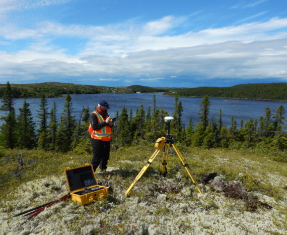
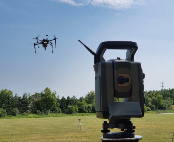
The goal of this applied research project is to improve data precision collected b …