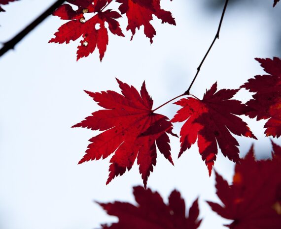
Red Maple: How Quebec’s forests are adapting to climate change
Climate change is already affecting Quebec’s forests, with expected impacts on tre …
Pêcheries Uapan S.E.C
Merinov
Level 1 Applied Research and Development Grant from the Natural Sciences and Engineering Research Council of Canada
The goal of this research is to develop an operational method for characterizing algae available for harvesting by using multispectral remote sensing. A site located on the Côte-Nord was mapped by taking into account the limits and areas of algae-covered areas. Thereafter, our team carried out a classification and quantification of algal resources according to groups and subgroups: green algae, red algae, Laminariales brown algae and Fucus brown algae. The project has thus confirmed that it is indeed possible to classify and quantify according only to these specific groups.
Resource management
Climate change is already affecting Quebec’s forests, with expected impacts on tre …
The CGQ team aims to provide CMQuébec, as well as its regional and local partners, …
This project involves conducting a campaign to acquire, process, and analyze hyper …