
Red Maple: How Quebec’s forests are adapting to climate change
Climate change is already affecting Quebec’s forests, with expected impacts on tre …
Subarctique Enr.
Level 1 Applied Research and Development Grant (ARD) from the Natural Sciences and Engineering Research Council of Canada (NSERC)
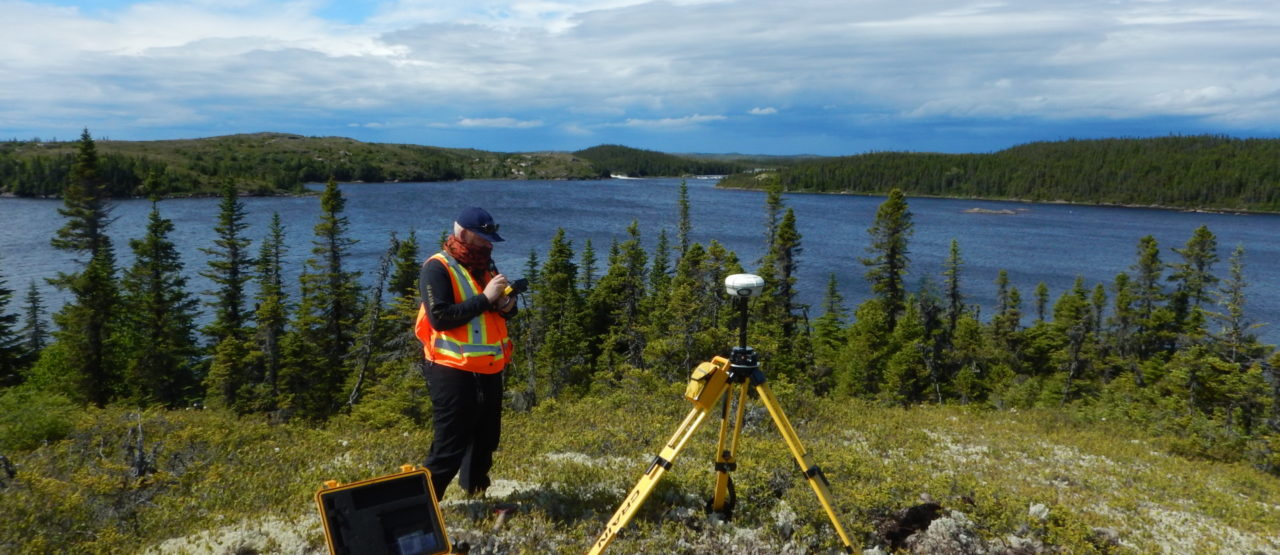
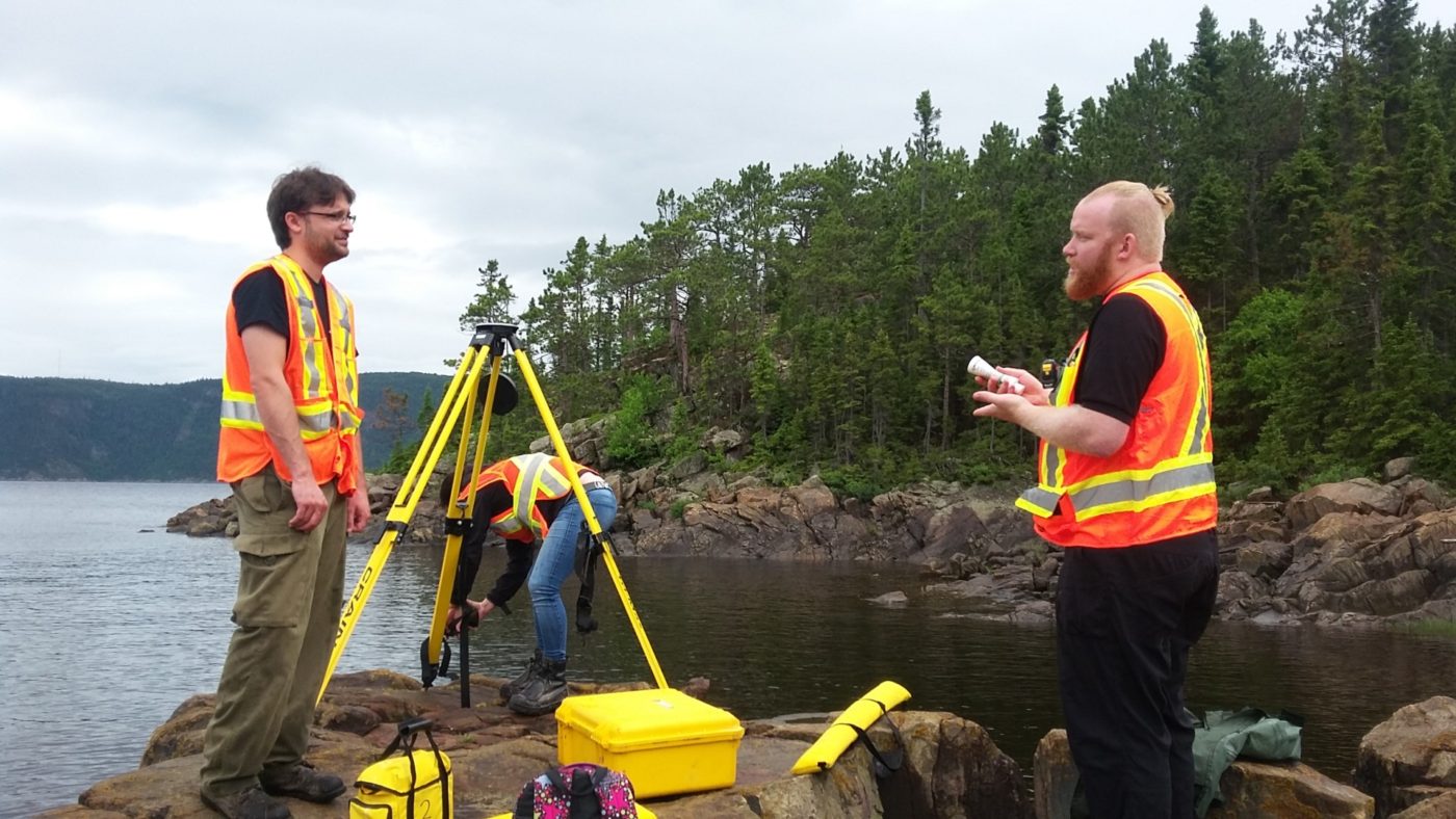
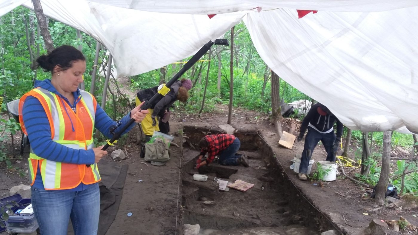
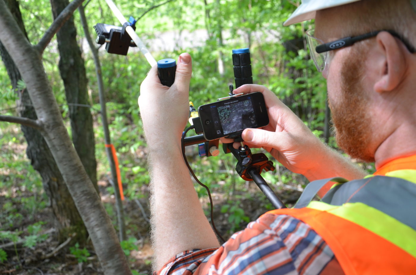
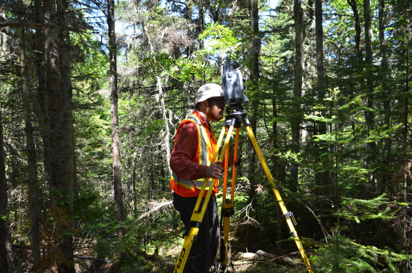
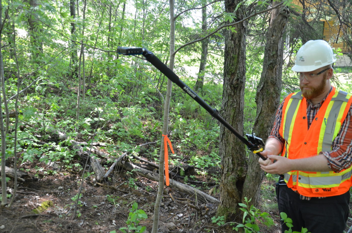
The goal of this project was to use geomatics techniques to update archaeology work processes. Field surveys were carried out on three excavation sites located in the Saguenay–Lac-Saint-Jean region. Digital surface models were created in addition to ortho-mosaics by using close range photogrammetry.
The company can now recover and analyze past archaeological data, provide reports more quickly and obtain photographic plans in color.
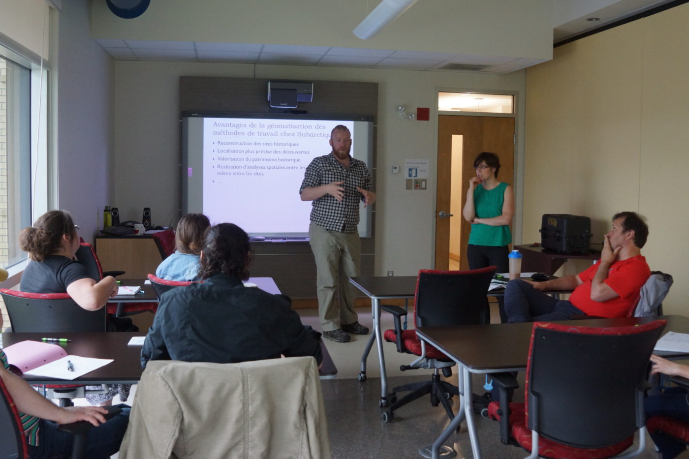
Our team also organized a dissemination activity for this project with UQAC students from the archeology department.
Heritage Promotion
Climate change is already affecting Quebec’s forests, with expected impacts on tre …
This is a co-construction project aimed at encouraging the six marine ZIP committe …
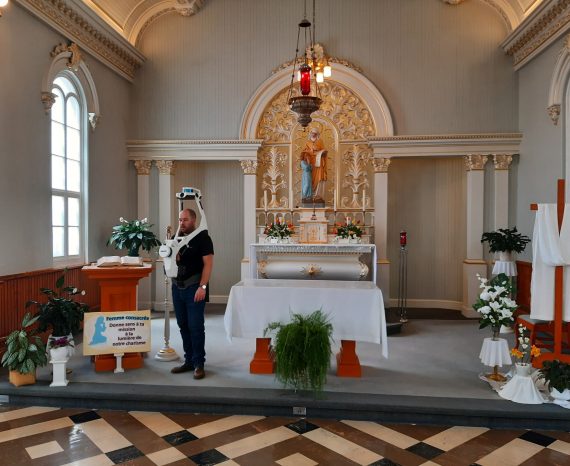
Our team was commissioned to perform a 3D scan of the interior of the Generalate o …