
Red Maple: How Quebec’s forests are adapting to climate change
Climate change is already affecting Quebec’s forests, with expected impacts on tre …
Precision agriculture XLKey inc.
University of Sherbrooke, Rosecape, Cédric Bouffard, agronomist
National Research Council of Canada Industrial Research Assistance Program (NRC-IRAP)
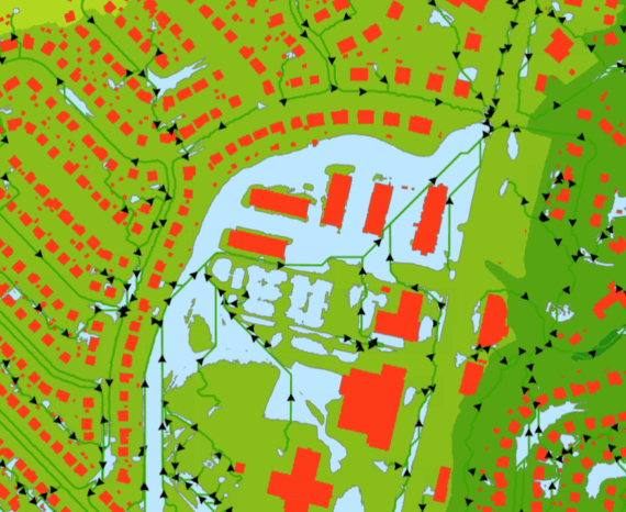
Precision agriculture XLKey inc. is an agricultural company whose mission is to democratize precision agriculture for agricultural producers. With a large quantity of geospatial data from various sources to process, analyze and store, XLKey wanted to set up a geospatial database infrastructure and automated processing chains to respond quickly and efficiently to their various mandates. The CGQ’s mandate was to collaborate in the implementation of a geospatial data infrastructure and to develop geospatial processing and analysis tools adapted to the needs of agricultural data management and enhancement.
Developing a data infrastructure plan
Design of a data infrastructure prototype
Creation of tools to optimize and automate various geospatial processes and analyses
The project is based on the use of cloud platforms to store, process and publish data in the form of maps on the Internet.
Resource management
Climate change is already affecting Quebec’s forests, with expected impacts on tre …
The CGQ team aims to provide CMQuébec, as well as its regional and local partners, …
The objective of the project is to clean and standardize GPS-acquired hiking trail data.