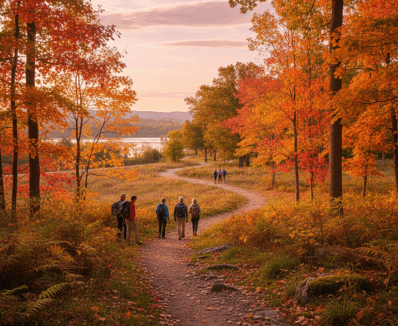
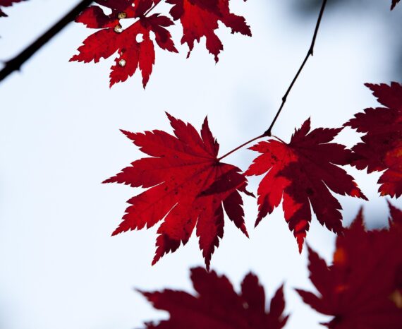
Red Maple: How Quebec’s forests are adapting to climate change
Climate change is already affecting Quebec’s forests, with expected impacts on tre …
Communauté métropolitaine de Québec (CMQuébec)
OASIS program of ministère de l’Environnement, de la Lutte contre les changements climatiques, de la Faune et des Parcs (MELCCFP).
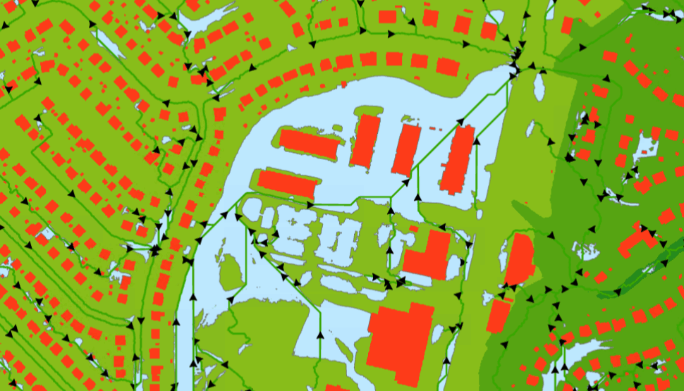
The CGQ team aims to provide CMQuébec, as well as its regional and local partners, with detailed mapping based on the Balstrøm and Crawford (2018) method and precipitation scenarios. Ultimately, this mapping, combined with other geomatics data, will enable various stakeholders to guide greening efforts and the implementation of green infrastructure to help adapt to heat waves and heavy precipitation.
2. Detection of blue spots (Balstrøm method):
3. Characterization and scenarios:
4. Validation and cleaning:
Software/environments:
Key data (provided by the CMQuébec):
Municipal geomatics
Environmental monitoring
Climate change is already affecting Quebec’s forests, with expected impacts on tre …
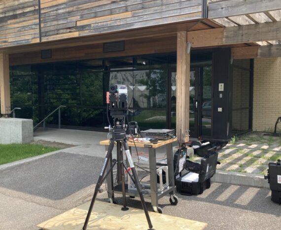
This project involves conducting a campaign to acquire, process, and analyze hyper …
The objective of the project is to clean and standardize GPS-acquired hiking trail data.