Digital twin for the Pulperie’s historic buildings
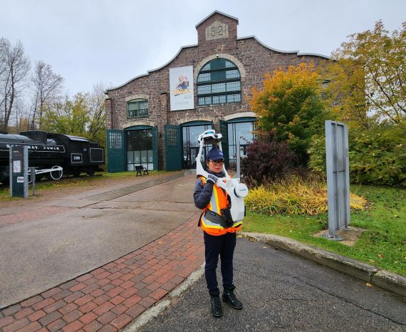
To help preserve and document this exceptional heritage, CGQ Innovation Géomatique …

City of Terrebonne
Applied Research and Development (ARD) Grant from the Natural Sciences and Engineering Research Council of Canada (NSERC)
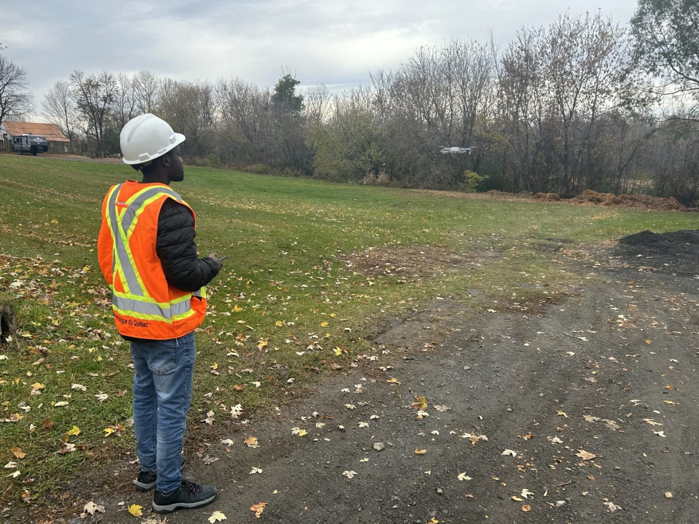
The project aims to evaluate the potential of low-cost drones as tools to support the City of Terrebonne’s efforts to combat invasive exotic plants (IEP). The primary objective is to design a solution capable of detecting and mapping, using drone imagery, the presence of two target species: common reed (Phragmites australis) and cathartic buckthorn (Rhamnus cathartica).
To achieve this objective, the project involves developing a deep learning algorithm that will transform raw images into accurate occurrence maps. The solution must be accessible to non-expert users: no advanced skills in photogrammetry or image processing will be required, which will facilitate its adoption by local stakeholders and enable low-cost implementation.
These steps are designed to achieve the established objectives, specifically the detection of invasive exotic plants with an overall accuracy of between 80% and 90%, and the mapping of these plants with an accuracy of < 5 m.
1. Data acquisition
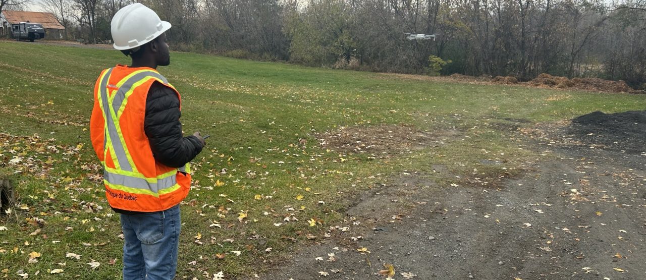
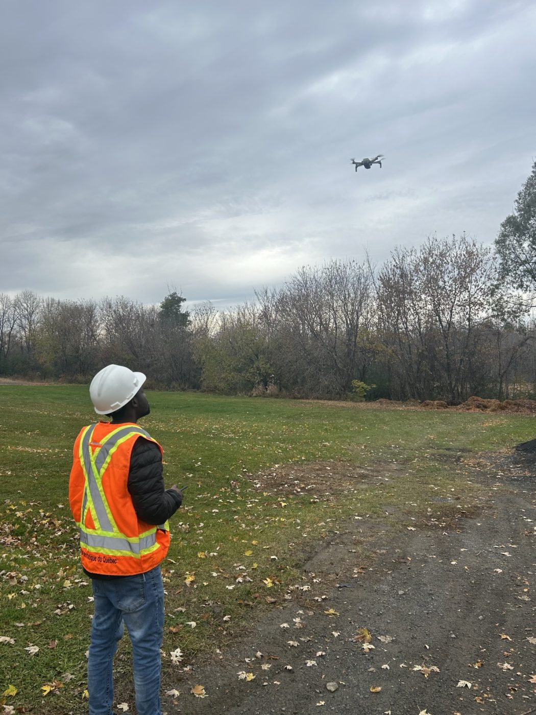
Data acquisition involves the use of low-cost drones to capture high-resolution images, including both nadir and oblique flights to detect invasive exotic plants in lower vegetation layers.
2. Development of the IEP detection model
The development of the invasive exotic plants detection model involves creating a deep learning model capable of detecting the targeted plants in individual images acquired by drones.
3. Development of the positioning tool
The development of the positioning tool aims to reproject the position of invasive exotic plants into a geographic coordinate system to generate occurrence maps.
4. Development of the user interface
The development of the user interface aims to create a minimal interface that takes the acquired drone images as input and outputs a positioning file compatible with the Geographic Information Systems used by the City of Terrebonne.
This methodological approach aims to simplify processing workflows, reduce analysis times, and ensure sufficient spatial accuracy for targeted interventions against invasive exotic plants.
Municipal geomatics
Environmental monitoring
To help preserve and document this exceptional heritage, CGQ Innovation Géomatique …
Climate change is already affecting Quebec’s forests, with expected impacts on tre …
The CGQ team aims to provide CMQuébec, as well as its regional and local partners, …