Val-Jalbert: Digital building health record
Participate in the development of a health record for heritage buildings using the …
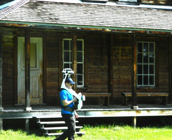
The importance of protecting Quebec’s heritage raises issues relating to the monitoring and conservation of buildings of interest. Using geomatics applications for geo-referencing historical city maps and plans provides better characterization, management and dissemination of built heritage. Our team can participate in building digitization and inspection through the use of sensors and drones. The precision of the data acquired in the field improves decision-making for the interventions to be implemented to ensure that heritage remains protected.
Participate in the development of a health record for heritage buildings using the …
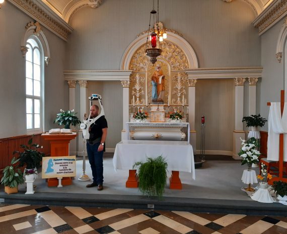
Our team was commissioned to perform a 3D scan of the interior of the Generalate o …
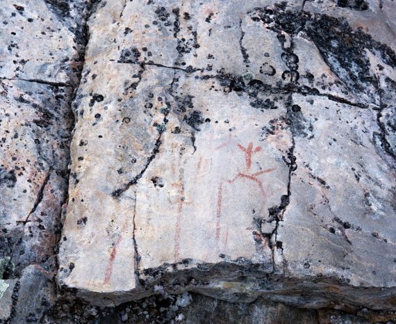
Use the non-destructive technique of hyperspectral remote sensing to identify the …
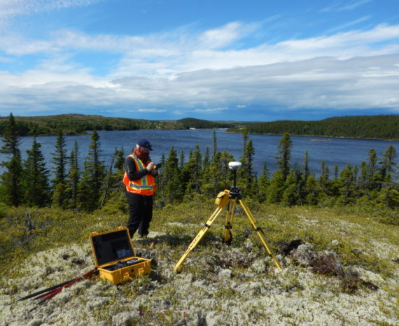
The goal of this project was to use geomatics techniques to update archaeology work processes.