
Red Maple: How Quebec’s forests are adapting to climate change
Climate change is already affecting Quebec’s forests, with expected impacts on tre …
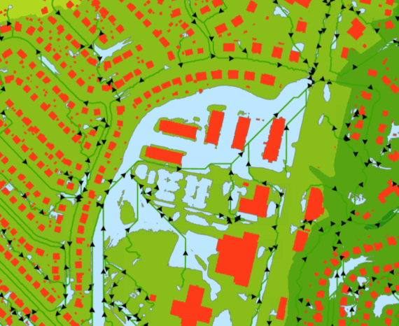
Regroupements loisirs et sports Saguenay-Lac-Saint-Jean (RLS)
The objective of the project is to clean and standardize GPS-acquired hiking trail data in order to improve its quality and consistency and make it ready for use by RLS partners.
The project is being carried out in QGIS using advanced digitization tools, based on a base map from QuickMapServices. This approach allows trail routes to be corrected, adjusted, and standardized to obtain more accurate and consistent data.
The data was acquired in the field using an Arrow 100 GPS receiver, which records users’ routes on the trails and accurately tracks their trajectories.
Tourism and recreation
Climate change is already affecting Quebec’s forests, with expected impacts on tre …
The CGQ team aims to provide CMQuébec, as well as its regional and local partners, …
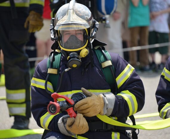
The SimSinistre platform, with its innovative geographical approach, will enable m …