Expertises
Earth Sciences
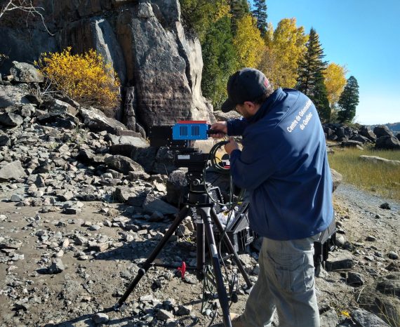
From outcrop mapping to 3D and hyperspectral data acquisition, we explore and analyze geological landscapes from every angle. Using our airborne hyperspectral cameras, we obtain precise, detailed data on the composition of surficial rocks. In addition, we have a spectroradiometer for precise spectral signature measurements on rock, samples or drill cores. From optimized mineral exploration database management to geotechnical or natural hazard modeling, we are committed to developing and delivering reliable solutions.
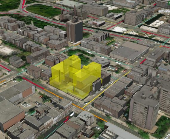
Digital twins
In the context of geomatics, digital twins make it possible to accurately model geographical spaces, urban structures, ecosystems or even environmental processes, offering a dynamic and interactive vision of the physical world. These digital models are fed by a multitude of data ranging from geospatial information captured by satellites or drones, to environmental and structural data collected by sensors in the field. The aim is to create a powerful tool for planning, management and decision-making, capable of reflecting and predicting changes in the physical world in real time.
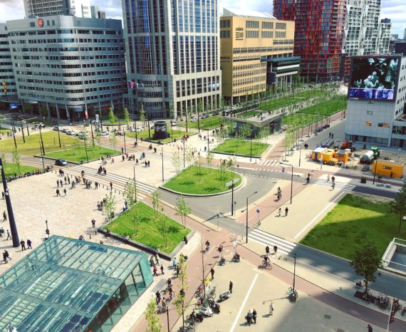
Municipal Geomatic
Geomatics applied to the municipal sector and advances in artificial intelligence enable better management of services and infrastructures. After analyzing your needs, our team will implement a geomatization plan that takes your budgets and schedules into account. The CGQ can also develop strategies and tools to support you in planning your territory, preparing calls for tender or risk coverage schemes. Technological tests can also be carried out to help you choose the best equipment for your needs.
Resource Management
Sound and efficient natural resources management is still a major issue for both public and private organizations. Our experts develop research projects in sectors that are as diverse as precision agriculture, forestry and maritime. The knowledge developed in geographical positioning, cartography, airborne data acquisition and remote sensing enable our team to implement innovative processes in this field.
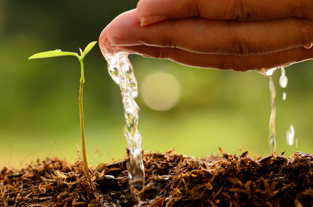
Environmental Monitoring
In today’s world, geomatics tools, when applied to the environment and sustainable development, are an effective means of ensuring that natural environments are protected and the biodiversity maintained. Our team can perform natural resource characterization, plant epidemiological monitoring and contaminant plume analysis through data analysis and management. Therefore, geomatics covers environmental issues with a territorial or spatial component.

Transport and Logistics
Transport is a field in which geomatics can provide a panoply of benefits. Technological advances such as intelligent transportation systems (ITS) offer decision-makers the opportunity to transform how their road and highway networks are managed and operated. They can be used for adaptive traffic control, transit operation, commercial vehicle operations or fleet management. Our team’s expertise has been developed over the years and makes it possible to effectively support organizations that want to implement best practices in transport management.

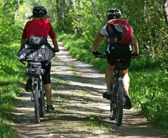
Tourism and Recreation
Our team creates real-time tracking applications for major sporting events or dynamic tourist routes. These cartographic interfaces display the position, in addition to information relating to tourist attractions, or the participants’ speed and identification during a competition. Our expertise in Web GIS and GNSS, in addition to our high-performance equipment, all play a part in making your project successful for participants and visitors.
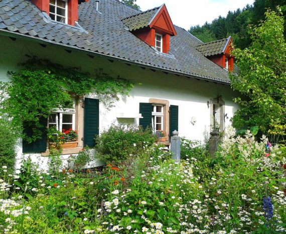
Heritage Promotion
The importance of protecting Quebec’s heritage raises issues relating to the monitoring and conservation of buildings of interest. Using geomatics applications for geo-referencing historical city maps and plans provides better characterization, management and dissemination of built heritage. Our team can participate in building digitization and inspection through the use of sensors and drones. The precision of the data acquired in the field improves decision-making for the interventions to be implemented to ensure that heritage remains protected.