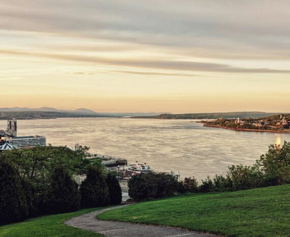
GÉOZIP: monitoring the state of the St. Lawrence shoreline
This is a co-construction project aimed at encouraging the six marine ZIP committe …
In today’s world, geomatics tools, when applied to the environment and sustainable development, are an effective means of ensuring that natural environments are protected and the biodiversity maintained. Our team can perform natural resource characterization, plant epidemiological monitoring and contaminant plume analysis through data analysis and management. Therefore, geomatics covers environmental issues with a territorial or spatial component.
This is a co-construction project aimed at encouraging the six marine ZIP committe …
Development of a methodology using remote sensing drone imagery to map/inventory i …
This project aims to develop rapid and reliable assessment tools for wild macroalg …
Using cross-sectoral approaches, the aim of this project was to better understand …
The project involved identifying and acquiring, as a priority, existing bathymetri …
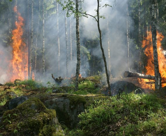
For this study, the case of a fire-affected forest in Lac-Saint-Jean was analyzed.
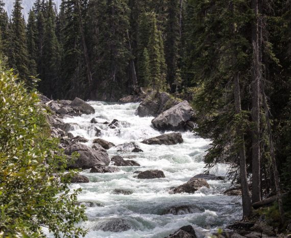
This goal of this research project was to improve the knowledge of river flow rate …
This project has enabled four ZIP (zone d’intervention prioritaire) committees to …
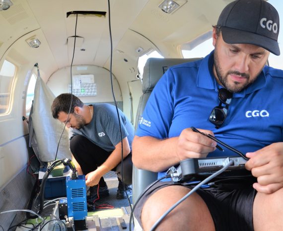
Our expertise in remote sensing and geospatial analysis, combined with our state-o …
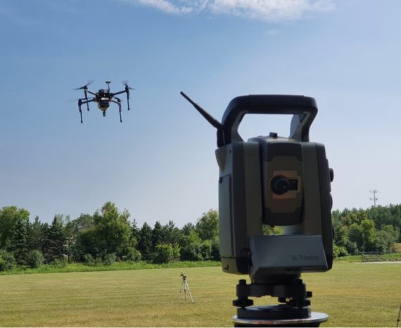
The goal of this applied research project is to improve data precision collected b …