Hyperspectral imaging of mining pits
This project involves conducting a campaign to acquire, process, and analyze hyper …
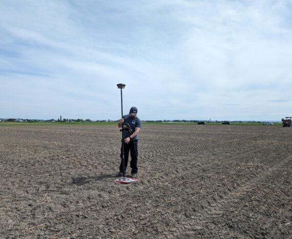
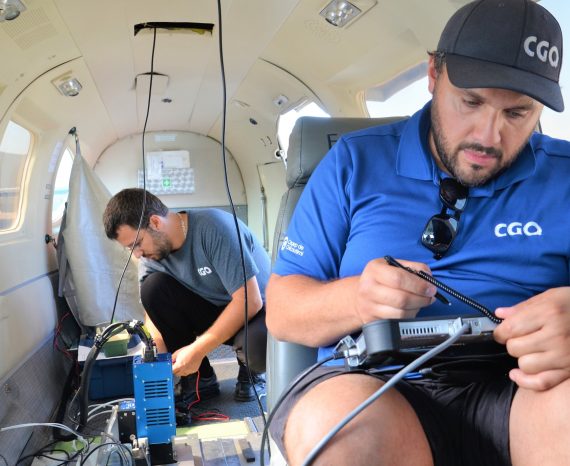
Sound and efficient natural resources management is still a major issue for both public and private organizations. Our experts develop research projects in sectors that are as diverse as precision agriculture, forestry and maritime. The knowledge developed in geographical positioning, cartography, airborne data acquisition and remote sensing enable our team to implement innovative processes in this field.
This project involves conducting a campaign to acquire, process, and analyze hyper …
The aim is to create an automated platform for rapid and accurate analysis of crop …
This project aims to develop rapid and reliable assessment tools for wild macroalg …
For this precision agriculture research project, our team used multispectral aeria …
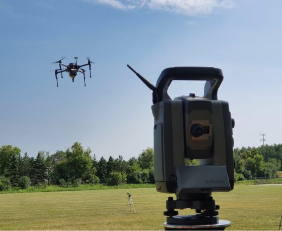
The goal of this applied research project is to improve data precision collected b …