Structure monitoring by remote sensing
Part of our brief was to propose solutions for the continuous monitoring of natura …
Part of our brief was to propose solutions for the continuous monitoring of natura …
Use the non-destructive technique of hyperspectral remote sensing to identify the …
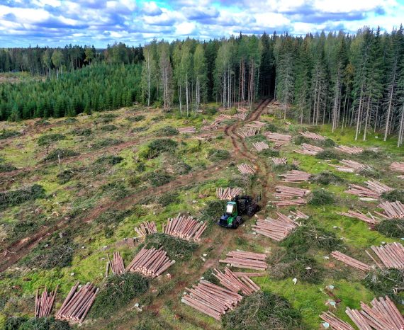
Development of a methodology using remote sensing drone imagery to map/inventory i …
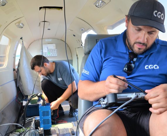
The CGQ joined the team for its hyperspectral expertise and state-of-the-art equipment.
This project aims to develop rapid and reliable assessment tools for wild macroalg …
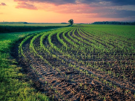
Precision agriculture XLKey inc. wanted to implement a geospatial database infrast …
Multispectral and thermal imaging technologies acquired by drones offer an afforda …
For this precision agriculture research project, our team used multispectral aeria …
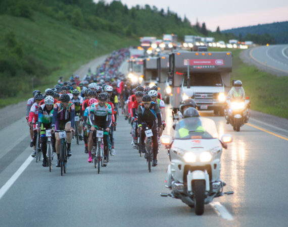
CGQ ensured GNSS real-time monitoring of the Grand Défi Pierre Lavoie annual event.
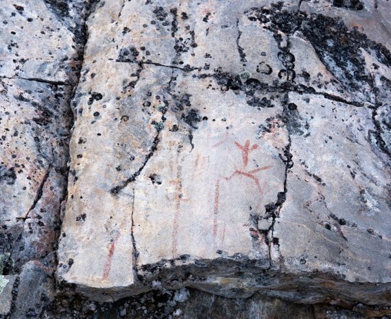
The goal of this project was to use geomatics techniques to update archaeology work processes.
This research project, led by Cégep de Chicoutimi, contributed to the development …
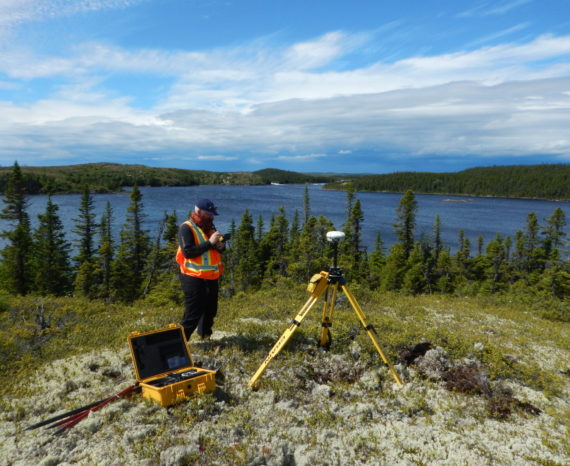
The project involved identifying and acquiring, as a priority, existing bathymetri …